Well, this is an interesting coincidence.
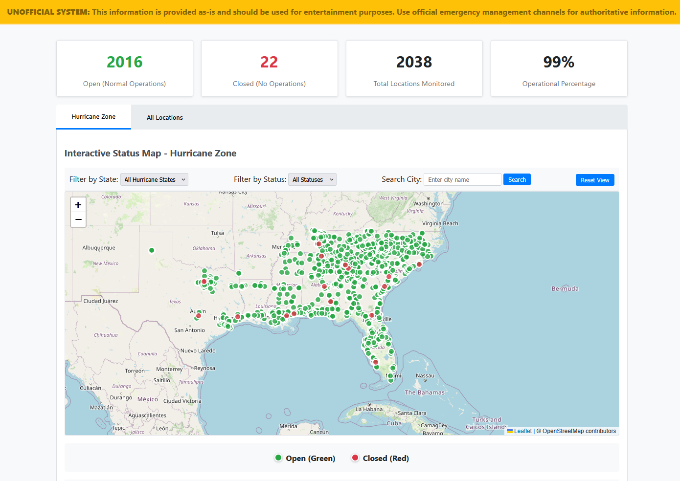
I too created an website & dashboard which surrounds the "Waffle House Index" after remembering it existed and deciding to make it a weekend project.
Example:
 However, upon actually searching via Google (as I use Kagi to remove bias and often remove useless search results and in this specific case, mostly rage-bait news sites being shown), I came across Jack's Blog Post detailing his identifcal attempt and subsequent C&D by Waffle House.. with their blog post dated 2025-05-24 it was exactly 2 months before I had substantially completed my own implementation and secured the domains on 2025-07-24... Oops.
Curiously, while they indicated their method was patched, as of writing this on 2025-08-02, I verified that my own approach continues to function and successfully populates my own dashboard.
¯\_(ツ)_/¯
For the time being, I'll be maintaining both the data collection and site in private. Primarily for my own entertainment and for when the storm comes and I need to know how much water I need to buy at Publix.
Contact: No.
If you must and you feel compelled to do so, you will know the appropriate channels to contact the owners of this site.
However, upon actually searching via Google (as I use Kagi to remove bias and often remove useless search results and in this specific case, mostly rage-bait news sites being shown), I came across Jack's Blog Post detailing his identifcal attempt and subsequent C&D by Waffle House.. with their blog post dated 2025-05-24 it was exactly 2 months before I had substantially completed my own implementation and secured the domains on 2025-07-24... Oops.
Curiously, while they indicated their method was patched, as of writing this on 2025-08-02, I verified that my own approach continues to function and successfully populates my own dashboard.
¯\_(ツ)_/¯
For the time being, I'll be maintaining both the data collection and site in private. Primarily for my own entertainment and for when the storm comes and I need to know how much water I need to buy at Publix.
Contact: No.
If you must and you feel compelled to do so, you will know the appropriate channels to contact the owners of this site.